

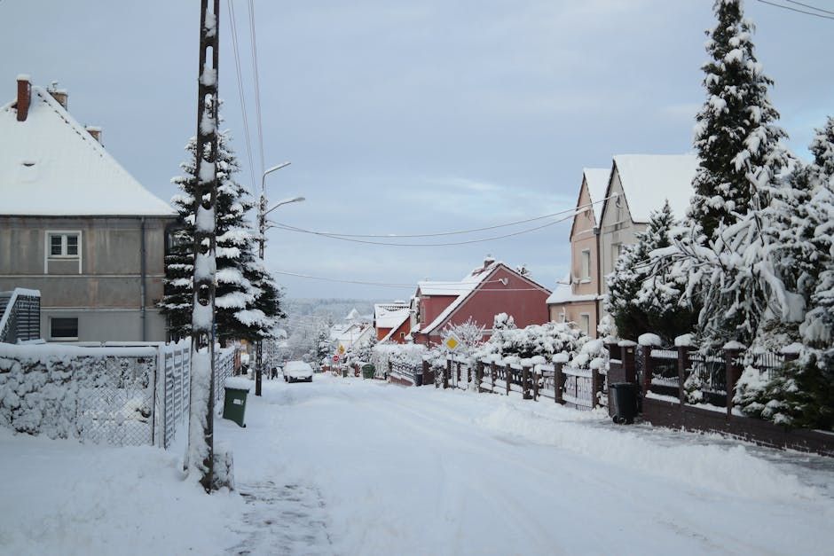
Winter weather continues to dominate over Bulgaria, with the most intense precipitation expected to affect northwestern regions and Eastern Bulgaria. Temperatures in the mountains are low enough for snow to fall, while lower areas will see rain.
Stronger precipitation is expected in northwestern and Eastern Bulgaria, while snow will fall in the mountains. During the day, precipitation will temporarily ease and stop in many places, but the atmosphere will remain unstable. In the afternoon hours, cumulus-rain clouds will develop over Southern and Southeastern Bulgaria, with brief showers and thunderstorms expected in some areas.
The wind will be weak, moderate from the southeast in Eastern Bulgaria, turning to the east in the afternoon and later to the northwest. Temporary wind intensification is expected in the Danube Plain and the Upper Thracian Valley.
Minimum temperatures will range between 2°C and 4°C, while in Southwestern Bulgaria they will be about 3–5°C higher. Maximum temperatures will reach between 8°C and 13°C, remaining lower in the extreme western and northwestern regions at 7°C to 9°C, according to Meteo Balkans' forecast.
What to Expect in the Capital
During the night, cloud cover over Sofia will be significant, with rain expected and light snow in the higher southern districts. The morning will start with cloudy and rainy weather, but in the afternoon clouds will gradually break up.
The minimum temperature will be around 4°C, and the maximum around 8°C, with a tendency to decrease. A weak northwest wind will blow.
Situation in the Mountains
Significant cloud cover with precipitation will prevail in the mountains, with snow expected above 1100–1300 meters. Rain will fall in lower areas.
The wind will be strong to stormy from south-southeast. In the afternoon, the rain-snow boundary will drop below 900 meters.
Maximum temperatures will reach around 4°C at 1200 meters and around -2°C at 2000 meters.
What's Happening Along the Black Sea
Significant cloud cover with precipitation will prevail along the Black Sea, with some areas experiencing more intense rainfall. During the day, clouds will begin to break up from the southwest.
A moderate southeast wind will blow. Maximum temperatures will be around 10°C, and sea wave height will be 2–3 points.
Situation in Neighboring Countries
Significant precipitation, including thunderstorms along the Adriatic coast, is expected over the Western and Central Balkans. Intensive snowfall is expected in the Dinaric Mountains. Snow is also expected in Rila and Pirin.
Until evening and during the night into Saturday, thunderstorms will also affect parts of Southeastern Bulgaria.
Source: Plovdiv24
Comments
No comments yet. Be the first to comment!
Join the conversation
You need to register and confirm your email before writing comments.